Log in
All resources
Create a design
38,808 Free Images of 1876 Maps
the comprehensive history of england (1876)
english-language maps showing history
1870s maps showing history
maps made in the 17th century
maps from the mechanical curator collection
maps from the mechanical curator collection available to georeference
charles eugène perron
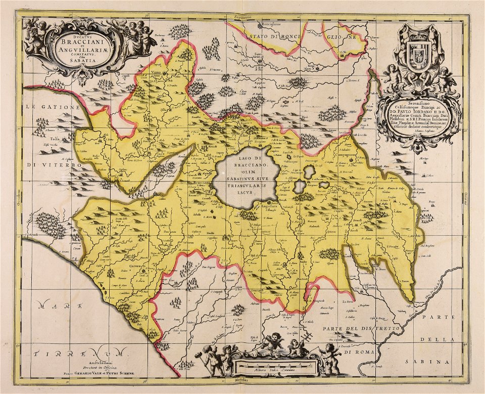
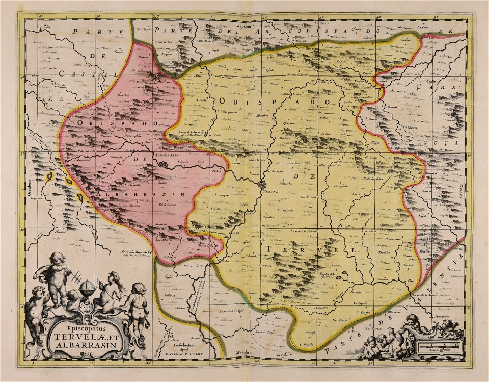
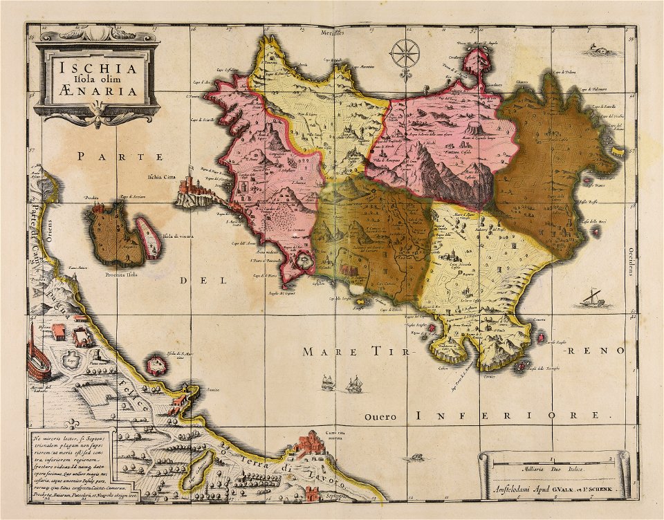
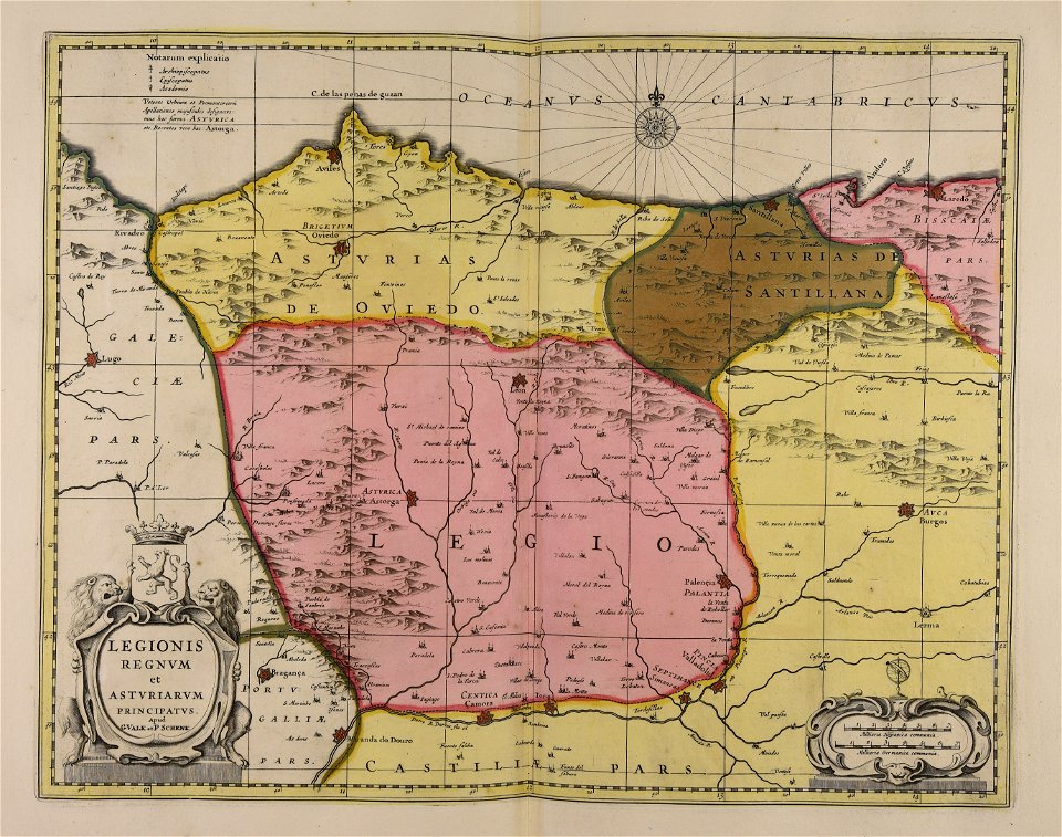
gerard valck
maps by pieter schenk (i)
africa and its inhabitants, vol. ii
old maps of bredevoort
pikemen
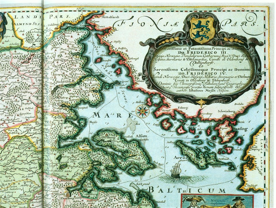
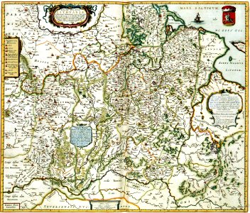
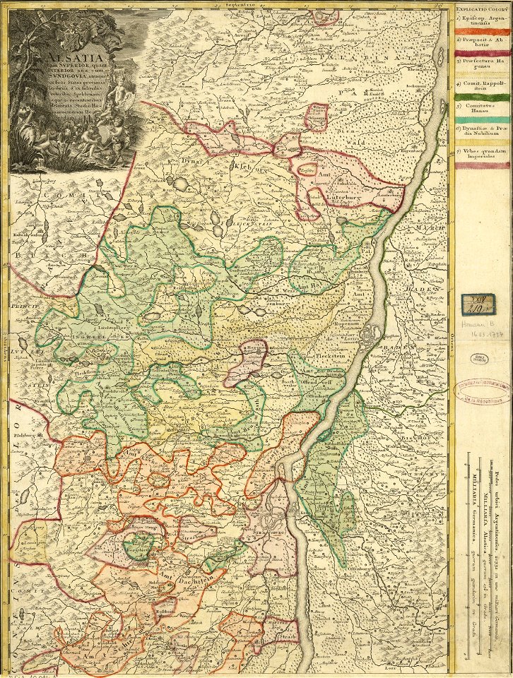
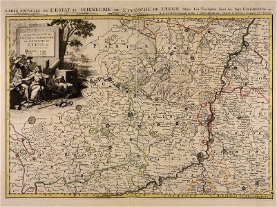
ducatus sleswicum sive justia australis
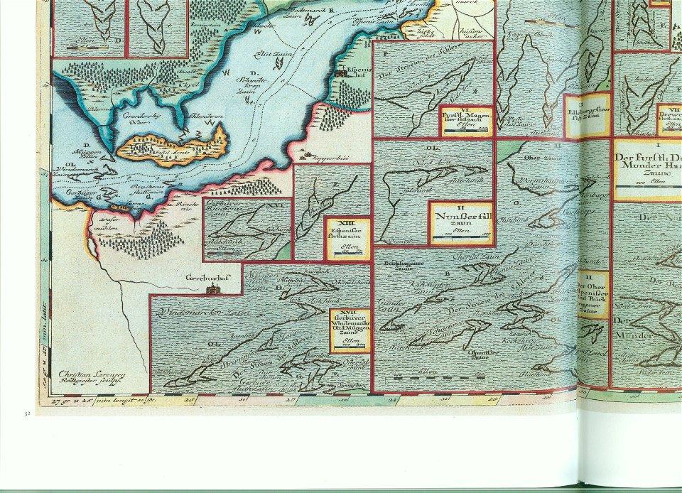
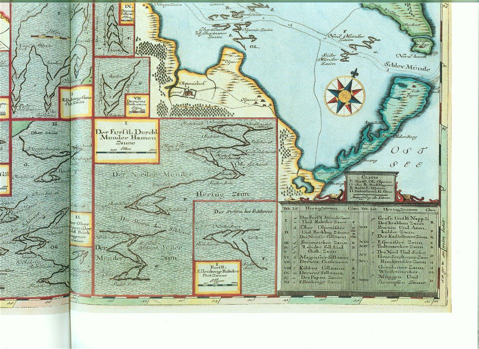
maps by johannes mejer
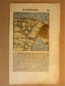
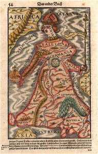
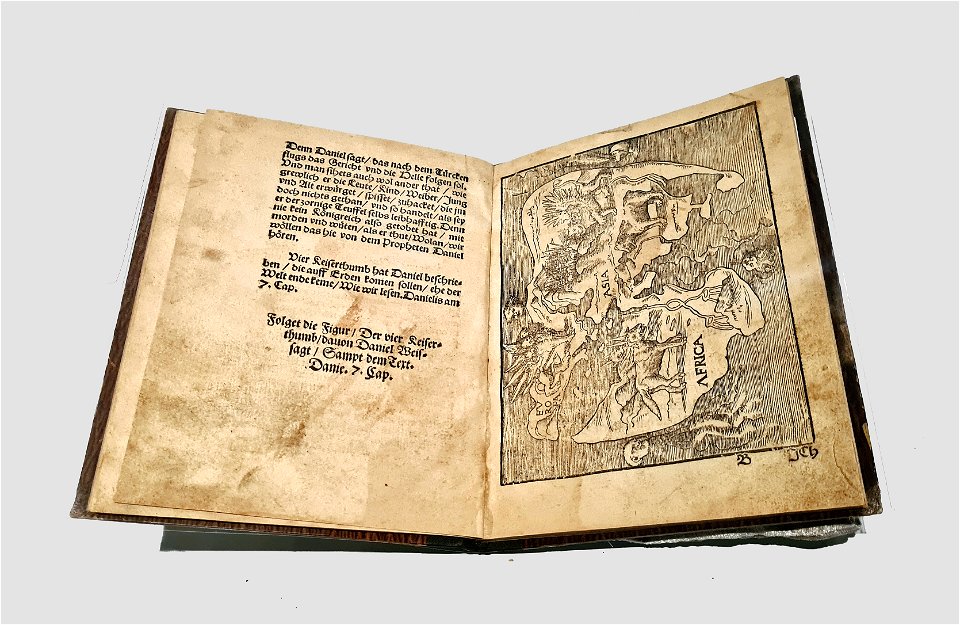
cosmographia (1600) by sebastian münster
1600s maps of egypt
ducatus sleswicum sive justia australis
maps by johannes mejer
maps by johannes mejer
schlei
maps by johannes mejer
schlei
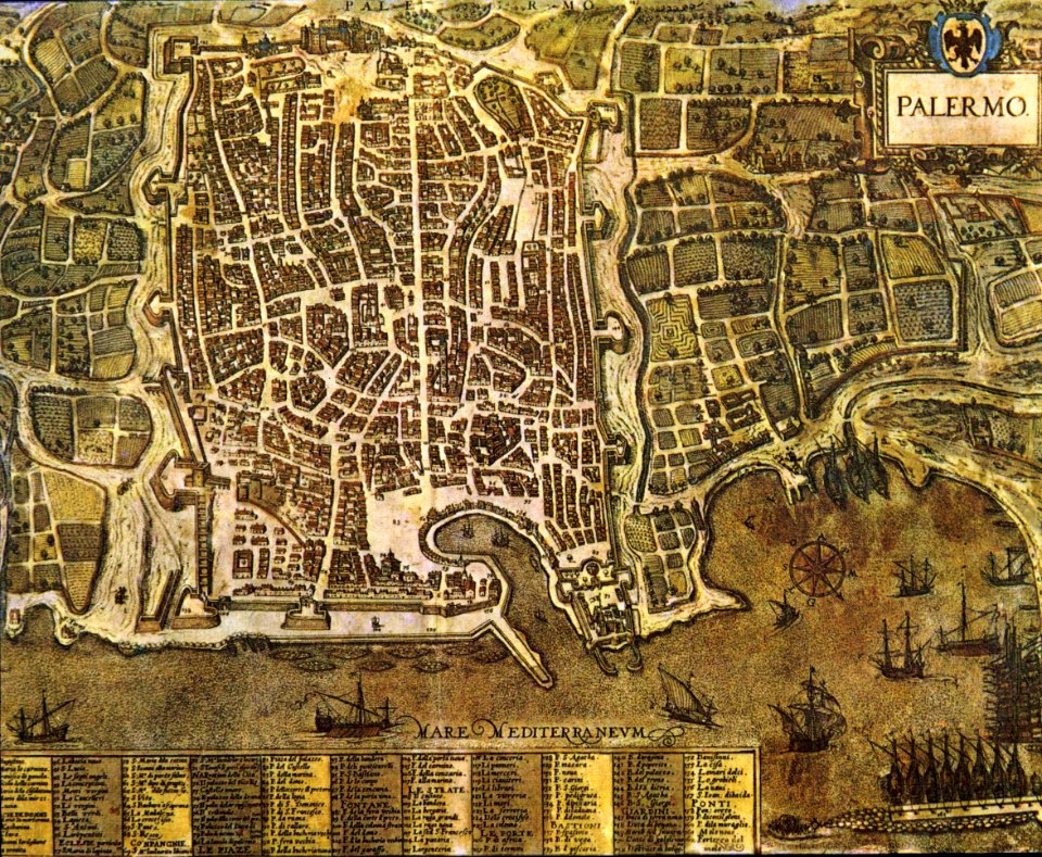
palermo
1581
the comprehensive history of england (1876)
english-language maps showing history
the comprehensive history of england (1876)
english-language maps showing history
the comprehensive history of england (1876)
english-language maps showing history
the comprehensive history of england (1876)
english-language maps showing history
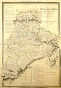
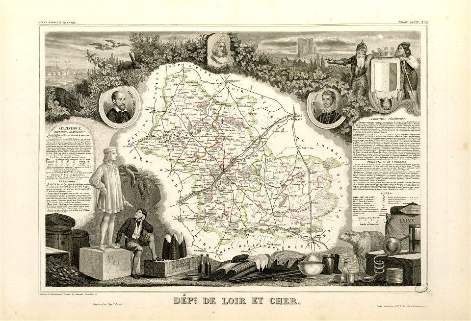
la rioja (spain) in the 19th century
cantabria in the 19th century
maps from the mechanical curator collection
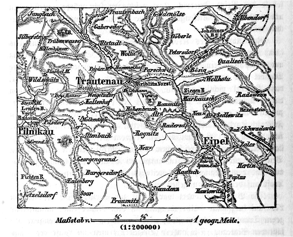
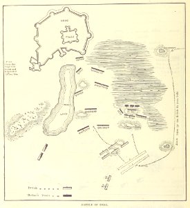
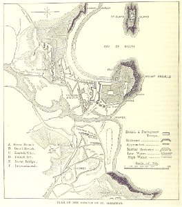
battle of trautenau
18th-century maps of hispaniola
1780 in the caribbean
africa and its inhabitants, vol. ii
charles eugène perron
19th-century maps of somalia
1876 maps of africa
africa and its inhabitants, vol. ii
charles eugène perron
nouvelle géographie universelle, vol. xii
charles eugène perron
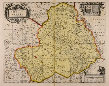
maps with cartouches
curonian
cartography
bohemia
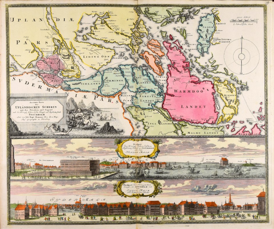
18th-century maps of stockholm
veduta
maps made in the 17th century
gerard valck
maps made in the 17th century
gerard valck
maps made in the 17th century
gerard valck
prints from the peace palace library
utrecht in the 18th century
collections de la bibliothèque nationale et universitaire de strasbourg
johann baptist homann
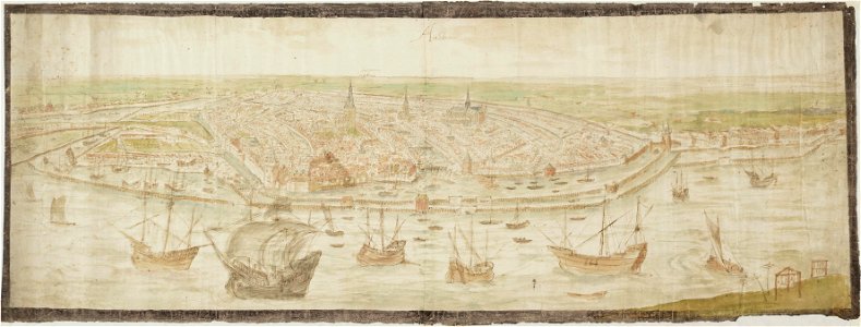
drawings in the stadsarchief amsterdam
anthonis van den wijngaerde
atlantis magni tomus tertius (biblioteca comunale di trento)
maps made in the 17th century
maps made in the 17th century
gerard valck
maps made in the 17th century
gerard valck
maps from the mechanical curator collection
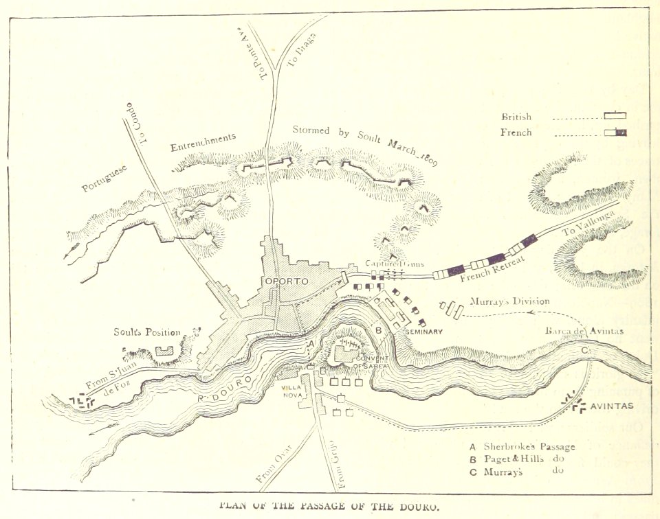
british battles on land and sea
maps from the mechanical curator collection
british battles on land and sea
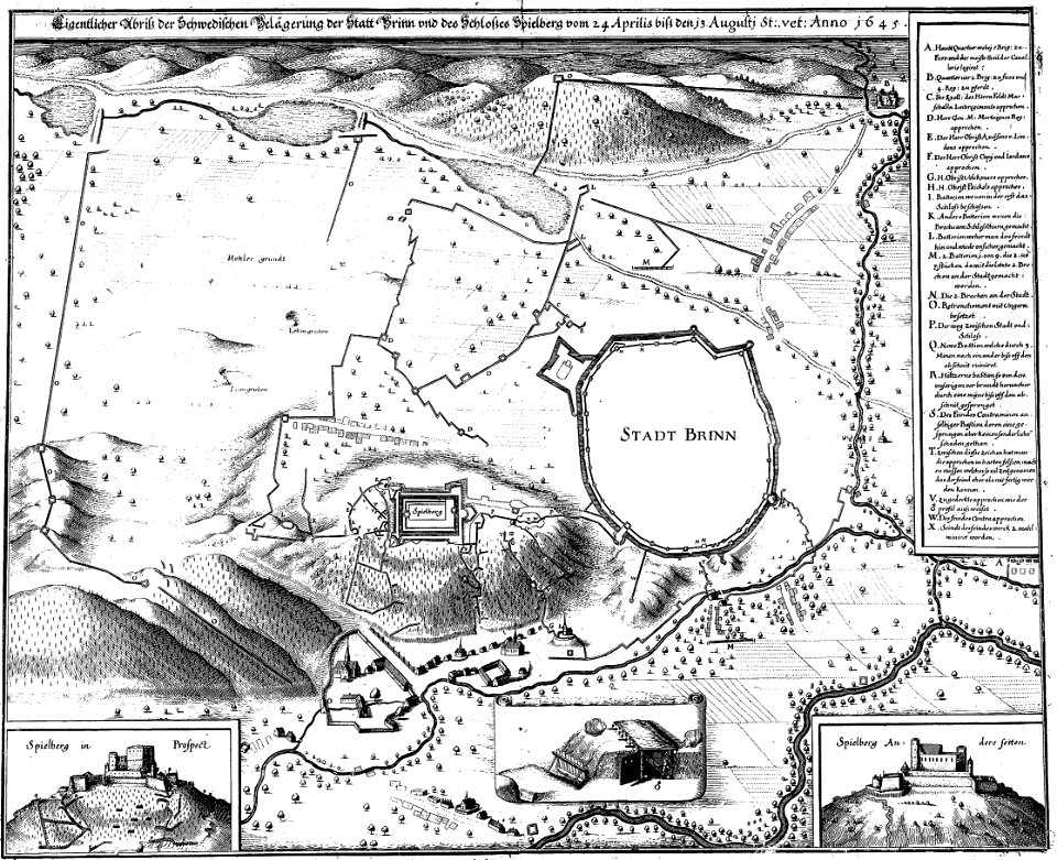
engravings of theatrum europaeum
1645 maps
17th-century maps of france
maps with cartouches
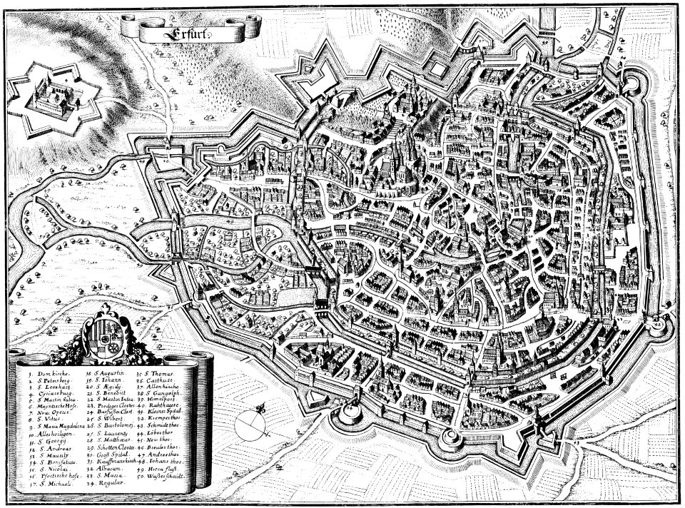
maps of erfurt
erfurt
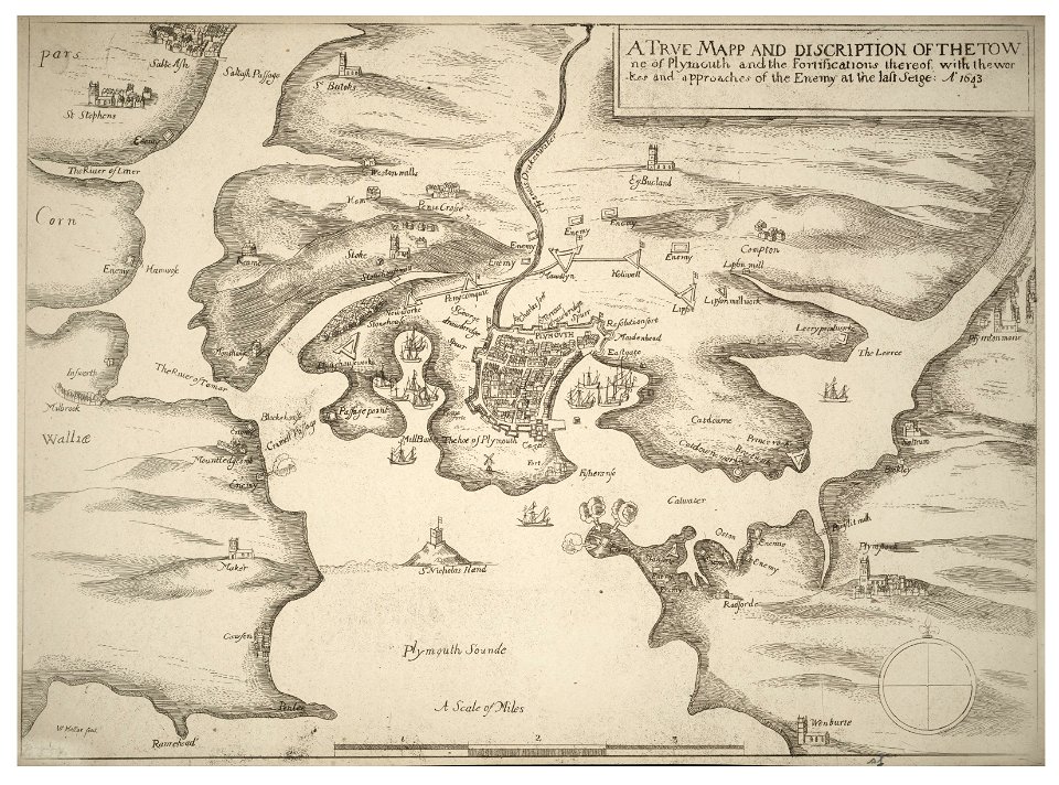
university of toronto wenceslas hollar digital collection
english civil war
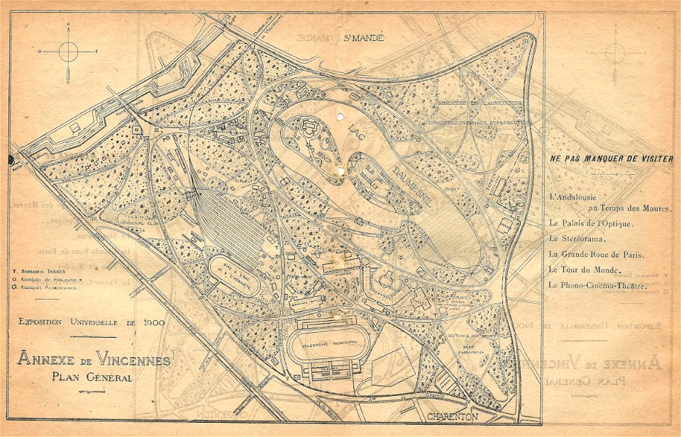
illustrations du catalogue remboursable de l'expo 1900
maps of the exposition universelle (1900)
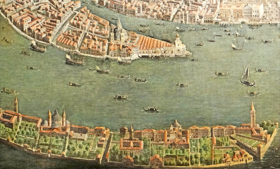
paintings of san giorgio maggiore (venice)
17th-century paintings from italy
maps made in the 17th century
nicolaes visscher ii
maps made in the 17th century
nicolaes visscher ii
maps made in the 17th century
gerard valck
maps made in the 17th century
gerard valck
collections de la bibliothèque nationale et universitaire de strasbourg
old maps of asia
mannheim in the 17th century
maps of mannheim
maps made in the 18th century
johann baptist homann
maps from the mechanical curator collection
british battles on land and sea
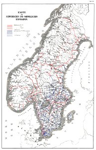
history of rail transport in norway
rail transport maps of norway
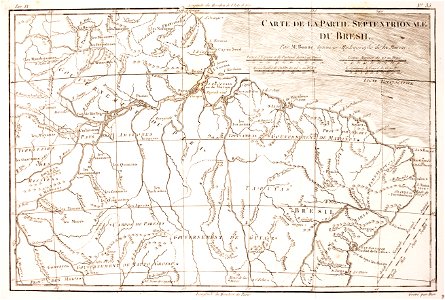
1780 in brazil
1780 maps
maps made in the 18th century
johann baptist homann
maps made in the 17th century
gerard valck
maps of waterways in the netherlands
collections of stadsarchief delft
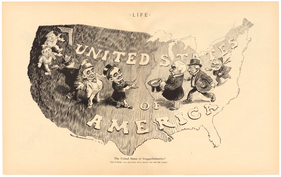
life
1912
university of toronto wenceslas hollar digital collection
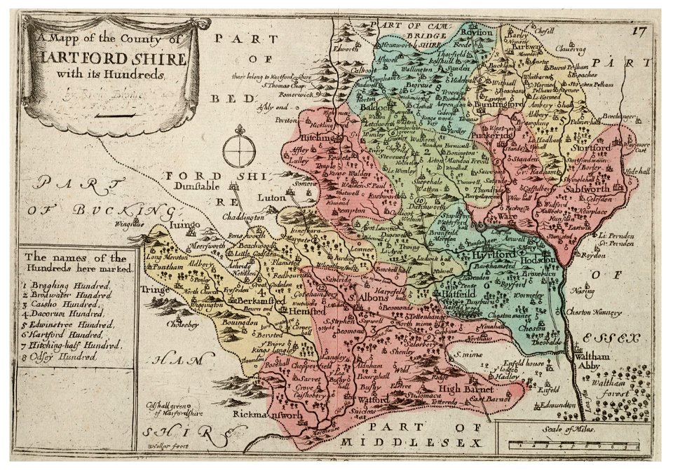
old county maps of sussex
university of toronto wenceslas hollar digital collection
history of watford
university of toronto wenceslas hollar digital collection
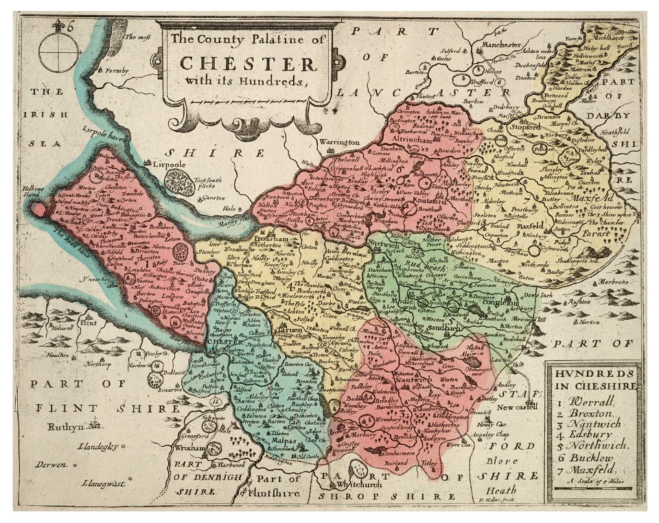
old county maps of cheshire
the comprehensive history of england (1876)
english-language maps showing history
maps of rivers of equatorial guinea
komo (river)
the comprehensive history of england (1876)
english-language maps showing history
the comprehensive history of england (1876)
english-language maps showing history
the comprehensive history of england (1876)
english-language maps showing history
the comprehensive history of england (1876)
english-language maps showing history
the comprehensive history of england (1876)
english-language maps showing history
the comprehensive history of england (1876)
english-language maps showing history
the comprehensive history of england (1876)
english-language maps showing history
the comprehensive history of england (1876)
english-language maps showing history
the comprehensive history of england (1876)
english-language maps showing history
the comprehensive history of england (1876)
english-language maps showing history
the comprehensive history of england (1876)
english-language maps showing history
the comprehensive history of england (1876)
english-language maps showing history
19th-century paintings of mary magdalene
paintings of mary magdalene in austria
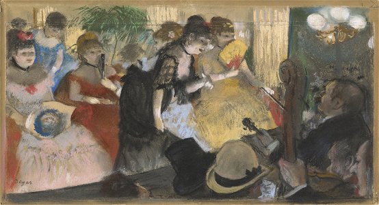
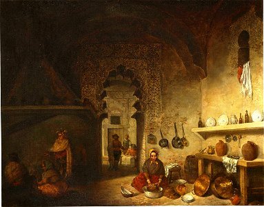
paintings of parisian café interiors
d.c.,
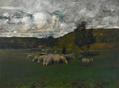
landscape paintings in the crystal bridges museum of american art
landscape paintings by william merritt chase
ermine (clothing) in art
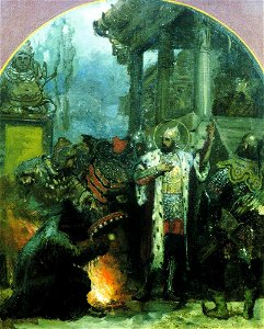
people with fire in art
people in the province of toledo in art
province of toledo in art
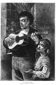
people with visual impairment in art
people in madrid in the 19th century
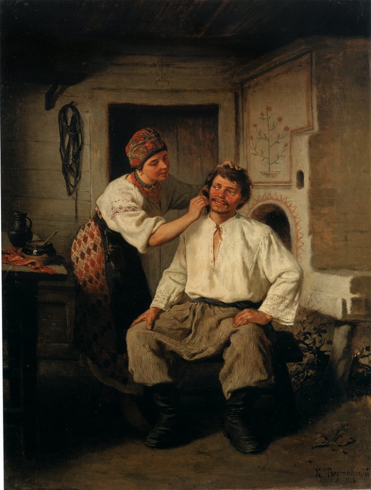
peasants from ukraine
ochipok
the comprehensive history of england (1876)
english-language maps showing history
the comprehensive history of england (1876)
english-language maps showing history
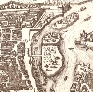
old maps of île de la cité
île saint-louis
africa and its inhabitants, vol. ii
charles eugène perron
africa and its inhabitants, vol. ii
charles eugène perron
1876 oil on canvas paintings
impressionism
africa and its inhabitants, vol. ii
charles eugène perron
coats of arms of blois
henry
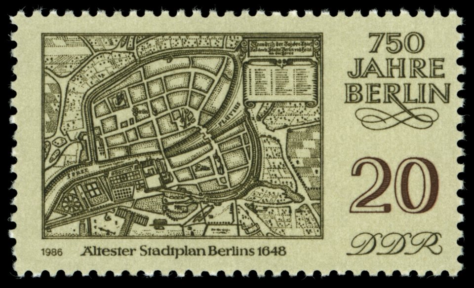
maps of the history of berlin
17th-century maps of berlin
géographie générale; physique, politique et économique (1876)
1870s maps of germany
géographie générale; physique, politique et économique (1876)
1870s maps of china
nouvelle géographie universelle, vol. xii
charles eugène perron
nouvelle géographie universelle, vol. xiii
1876 maps of africa
nouvelle géographie universelle, vol. viii
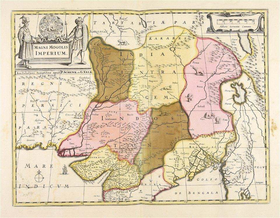
1876 maps of india
nouvelle géographie universelle, vol. xvi
1876 maps of philadelphia
nouvelle géographie universelle, vol. viii
1876 maps of india
africa and its inhabitants, vol. ii
charles eugène perron
coats of arms of cities in vienne
frédéric-auguste laguillermie
maps made in the 17th century
guillaume sanson
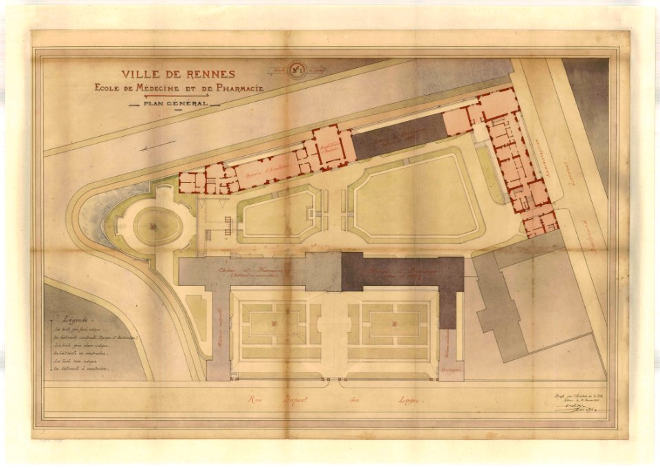
rennes in the 1900s
old maps of rennes
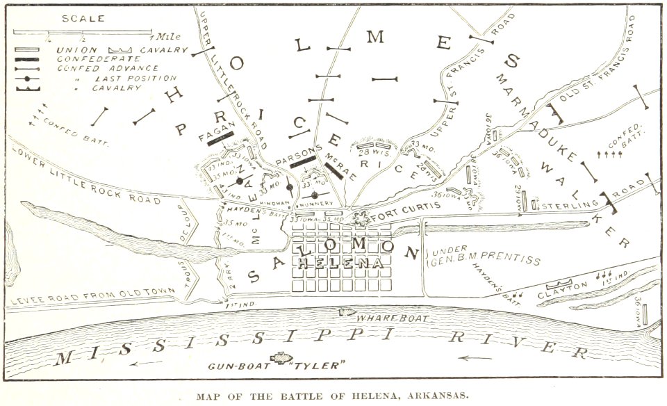
battles and leaders of the civil war (1887)
maps from the mechanical curator collection
illustrated battles of the nineteenth century
1895 drawings
illustrated battles of the nineteenth century
1895 drawings
illustrated battles of the nineteenth century
1895 drawings
8501 - 8600 of 38,808
Next page
/ 389